1392
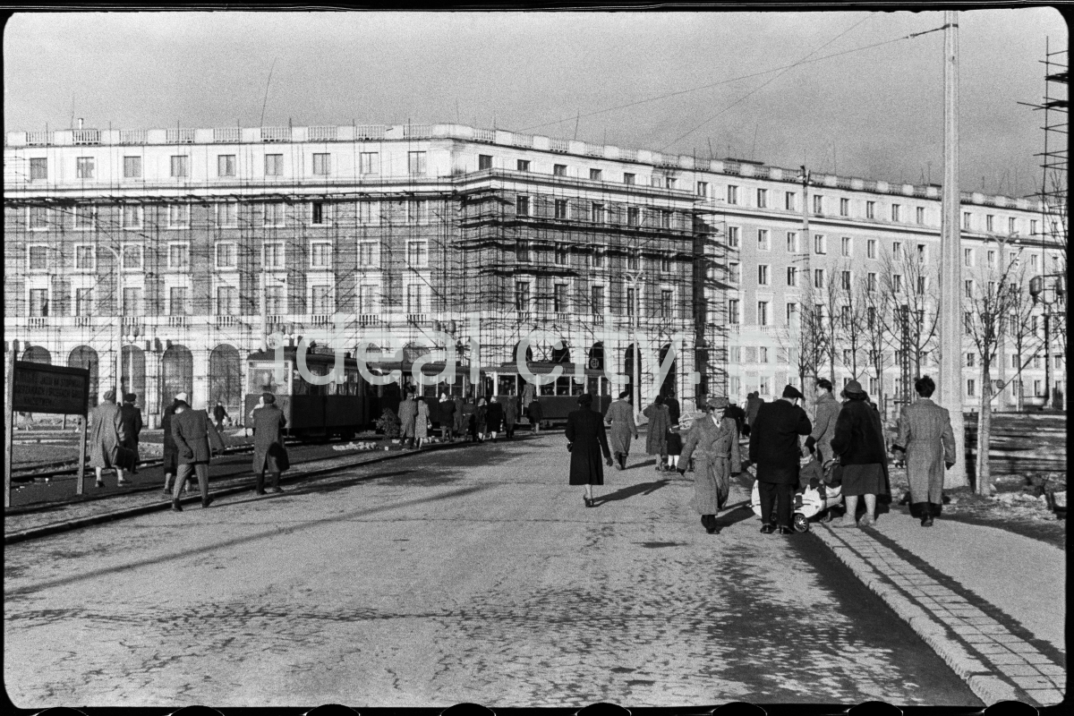
Plac Centralny, view towards a residential building on the B-31 (Centrum B) Estate, the exit of Lenina Alley (now Solidarności Alley). Second half of the 1950s.
Plac Centralny, widok w kierunku budynku mieszkalno – usługowego na osiedlu B-31 (Centrum B) u wylotu alei Lenina (obecnie aleja Solidarności), II poł. l. 50. XX w,
Photo by Wiktor Pental/idealcity.pl
Miejsce
Nowa Huta
Czas
1 March 1956
Tagi
pedestrian traffic,
Plac Centralny,
scaffolding,
elevation
GPS
50.071924, 20.038105