585
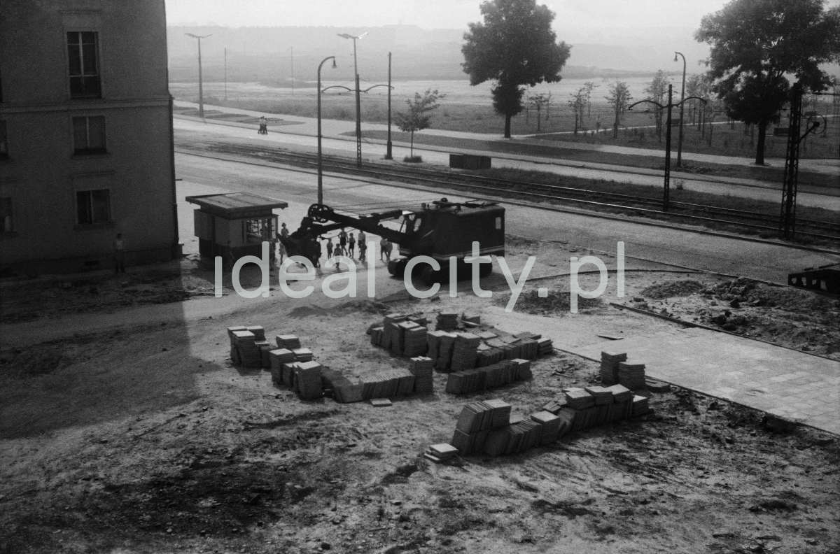
View of today’s Aleja Jana Pawła II (John Paul II Alley, previously Aleja Wojewódzka – Voivodeship Alley in 1950-9, then Aleja Planu 6-letniego – Six-Year-Plan Alley in 1959-91) from a high-rise on the Centrum D Estate. Further back Nowa Huta Meadows. 1960s.
Widok na dzisiejszą Aleję Jana Pawła II ( wcześniej Aleja Wojewódzka (1950-1959), następnie Planu 6-letniego (1959-1991), z piętra wysokościowca na Osiedlu Centrum D. W głębi Łąki Nowohuckie. Lata 60. XX w.
Photo by Henryk Makarewicz/idealcity.pl
Miejsce
Nowa Huta
Czas
8 June 1959
Tagi
Centrum D,
modernity,
Nowa Huta,
Nowa Huta Meadows,
street
GPS
50.072109, 20.034621